Hiking in the Mountains of Munich: The Top 5 hiking routes
Are you visiting Munich and fancy a day trip to the mountains? Feel like going hiking? Then get to it! From Munich Central station you can reach some amazing hiking routes by train that you can easily manage with a reasonable level of fitness. We have 2 fantastic hotels in the center of Munich so either one are a great base from which to commence your climb!
Hiking Made Easy- Short Journey
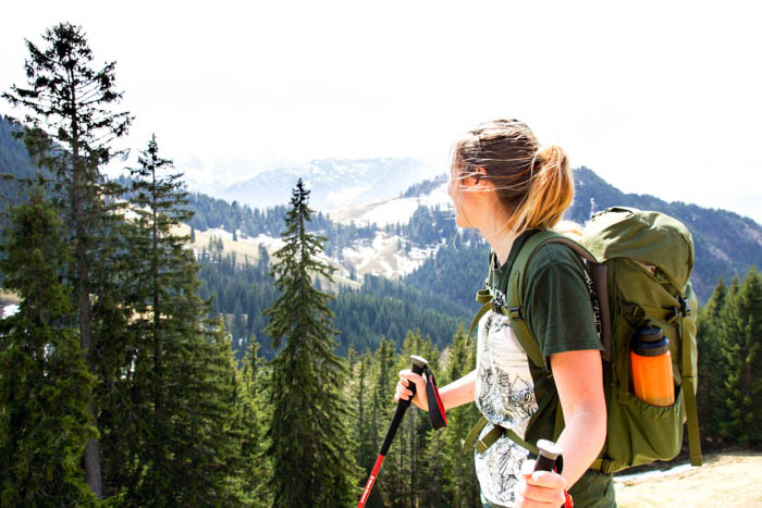
It only takes an hour to 90 minutes to get to the mountains and hiking trails from Munich by train. So why keep your city break just a city break? Combine it with a trip to the mountains and you’ll have twice as many stories to tell! You don’t even need a car to do it! Trains and buses depart from Munich Central Station to the routes listed here. A convenient way to get you out into the mountains!
For the routes described here, you will need sturdy, flat footwear. You will also need sun cream, a hat or parasol, and water.
Hiking near Munich: Neureuther Hütte, 1,264 metres
The Neureuth is probably the most well-known mountain restaurant at Lake Tegernsee and is a popular destination for visitors of all ages. From the huge sun terrace, you can enjoy a fantastic view of the beautiful Lake Tegernsee. As the hiking journey is actually quite short, you can have a lie in before this one. But remember: hot food is only served until 2:30 p.m. From the Tegernsee train station, you will be at the top within approximately 1.5 hours. The route takes you through a wide forest road and only has a short steep section at the end of the forest. Money-saving tip: instead of Kaiserschmarrn (around €10), order an Apfelstrudel or Topfenstrudel with custard (€3.20!).
Info
Berggasthof Neureuth, Neureuth 1, 83684 Tegernsee
Ascent on foot: approx. 1.5 hours
Journey: approx. 1 hour, BOB (Bayerische Oberlandbahn) train from Munich Central Station to Tegernsee train station
Hiking near Munich: Wendelstein, 1,838 metres
This route is so easy, even my Grandma could do it! You can even take the railway up to the top. The Wendelstein is a 1,838-metre-tall mountain in the Bavarian Alps, and is the highest peak in the immediate area. From the sun terrace, you can enjoy a fantastic view, and if you do decide to do something more active, you can climb the remaining 100 metre ascent from the top station to the peak and enjoy a 360° panoramic view of the landscape. The ascent via the well-maintained path to the summit takes about 20 minutes and is also suitable for less experienced hikers, but it not suitable for people who suffer from vertigo. The 100-year-old cog train goes past you back and forth and turns your holiday into a picture perfect trip! You can also take the cogwheel railway to the top instead of the cable car.
Info
Wendelstein Panoramarestaurant & Terrasse, Wendelstein 1, 83735 Bayrischzell
Ascent with the Wendestein Seilbahn (cableway) approx. 10 minutes (around €34 return), round trip approx. 20 minutes
Journey: approx. 1 hour 20 minutes, BOB (Bayerische Oberlandbahn) train from Munich Central Station to Bayrischzell, and from there it is a 2-minute walk to the above address (bus in service from May to November).
Ascent with the Zahnradbahn (cogwheel railway) approx. 30 minutes (around €22),
Journey: approx. 1 hour, BOB (Bayerische Oberlandbahn) train from Munich Central Station to Brannenburg, and from there you can change to the Wendelstein-Zahnradbahn.
Hiking near Munich: Wank, 1,780 metres
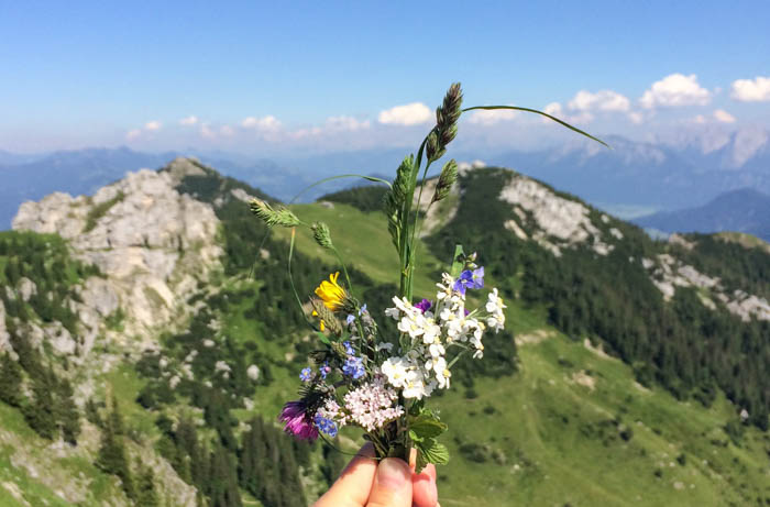
If you’re feeling particularly leisurely, you can ascend this mountain by cable car, too. Then, you simply climb the last 100 metres of the ascent to the Wankhaus and the summit cross. If you’re just there for the view, you can enjoy the benches on the Sonnenalm. In fact, the beer you drink at the peak will taste 100x better if you made the ascent yourself: over hill and dale, past the happy cows grazing at their leisure, you can enjoy an excellent view of the Zugspitze – the tallest mountain in Germany. Please leave the cows in the fields in peace or they may get tetchy. You should plan 3 to 3.5 hours for the ascent and 2.5 hours for the descent (you can be lazy and get the cable car down the mountain as well, the descent is the uncomfortable part anyway ;)).
Info
Wankhaus, Wank 1, 82467 Garmisch-Partenkirchen
Ascent with the Wankbahn approx. 10 minutes (around €21 return), ascent to the summit approx. 20 minutes, ascent on foot approx. 3-3.5 hours.
Journey: approx. 1 hour 20 minutes, take the RB train from Munich Central Station to Garmisch-Patenkirchen. From there, take the number 3 or 5 bus for 10 minutes until you reach the Wankbahn.
Hiking near Munich: Herzogstand, 1,731 metres
The Herzogstand is Munich’s local mountain – along with the Jochberg, which is just opposite (add internal LINK to “Sunset on the Jochberg mountain”, not online yet). You can also reach the Herzogstand by cable car. That would be a shame, though. Because at the Herzogstand, the journey is the destination! Below you, you will see the Walchensee, which gets smaller curve by curve. It’s as if it’s telling you how well you are doing on your ascent of the mountain. Later, you can wind past the slopes and you’d easily believe you were in Canada with the untouched landscape before you. You should plan 2 to 2.5 hours for the ascent, and 1.5 hours for the descent. At the cable car mountain station in Herzogstandhaus, you can take a little break before tackling the last few metres up to the summit. From here, you can see as far as Munich!
Info
Herzogstandbahn, Am Tanneneck 6, 82432 Walchensee
Ascent with the Herzogstandbahn approx. 10 minutes (around €12 return), ascent to the summit approx. 20 minutes, ascent on foot approx. 2-2.5 hours.
Journey: approx. 1 hour, take the RB train from Munich Central Station to Kochel. From there, take the number 9608 bus until you reach the Herzogstandbahn.
Hiking near Munich: Priener Hütte, 1,410 metres
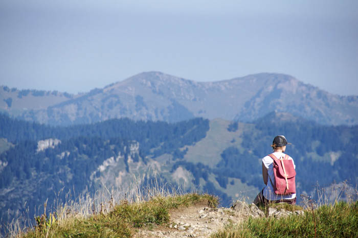
Unlike the other destinations, you can’t reach the Priener Hütte by cable car. However, the atmosphere is correspondingly serene and relaxed. Whoever makes their way up here is happy to have arrived (and probably a little tired). Then, you will need a proper sandwich or Kaisershmarrn to get you back on your feet. The Priener Hütte is located in Chiemgau, close to the border to Austria/Tyrol. It is quaint and cosy and the journey there is varied. On the way up, you will follow a simple forest path, climbing 700 metres in altitude. The ascent takes 2.5 hours. If you’re particularly sure-footed, you can also follow some of the more challenging hiking routes through the forest. The last third of the journey takes you over vast fields. Mountains, as far as the eye can see!
Info
Priener Hütte, Huben 50, 83229 Aschau im Chiemgau
Ascent on foot: approx. 2.5 hours
Journey: approx. 1 hour, take the Eurocity train from Munich Ostbahnhof, change to the RB train in Prien am Chiemsee and take it to Aschau im Chiemgau. From there, you can take the RVO bus 9502 towards Sachrang as far as the “Geigelstein Aufstieg” or “Sachrang Ort” bus stop. The bus is not in service on Sundays or public holidays.
Hiking near Munich: FAQs
Planning a hiking trip near Munich? Book your stay at one of our two MEININGER Hotels, perfectly located for easy access to the city’s central station and all the top hiking trails.
Where to Stay in Munich for Your Hiking Adventure
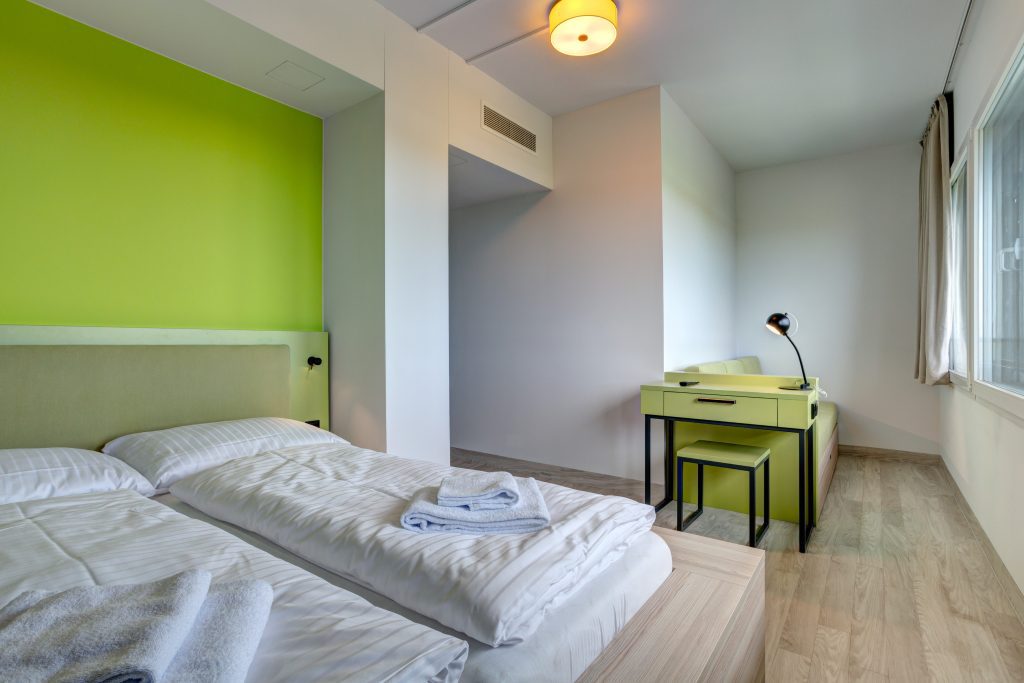
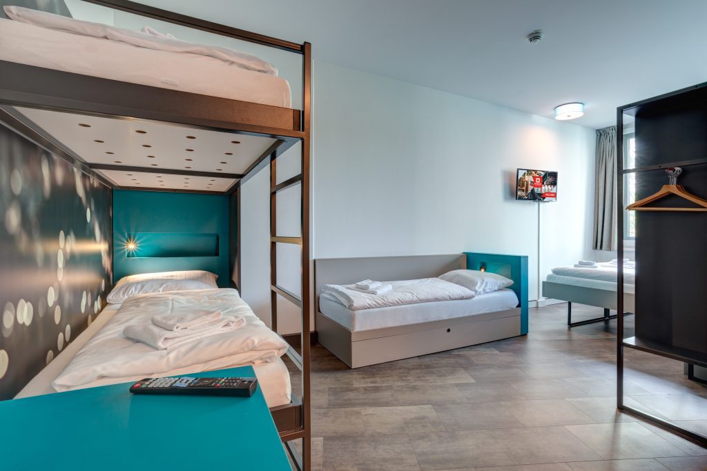
Check out MEININGER Hotel München Zentrum, conveniently located near Munich Central Station. From here, you can catch a train and be on your way to the mountains in no time.
After a day of hiking, you’ll love coming back to a cozy room in the heart of the city.
Address: Landsberger Str. 20b, 80339 Munich, Germany
For a quieter base, MEININGER Hotel München Olympiapark offers easy transport links to all major hiking routes.
Enjoy your day exploring the scenic trails and return to a peaceful setting in the evening.
Address: Landshuter Allee 174, 80637 Munich, Germany
Both locations provide the perfect starting point for your hiking adventures around Munich, combining city convenience with easy access to nature!
